Modern Real Estate Information Management
Surveying Engineering Services, Cadastre and Digitization, Expropriation and Design, GPS and GIS, 3D Digital Land Model Production, Software and Hardware, Land Development and Investment Consultancy
Surveying Engineering Services, Cadastre and Digitization, Expropriation and Design, GPS and GIS, 3D Digital Land Model Production, Software and Hardware, Land Development and Investment Consultancy
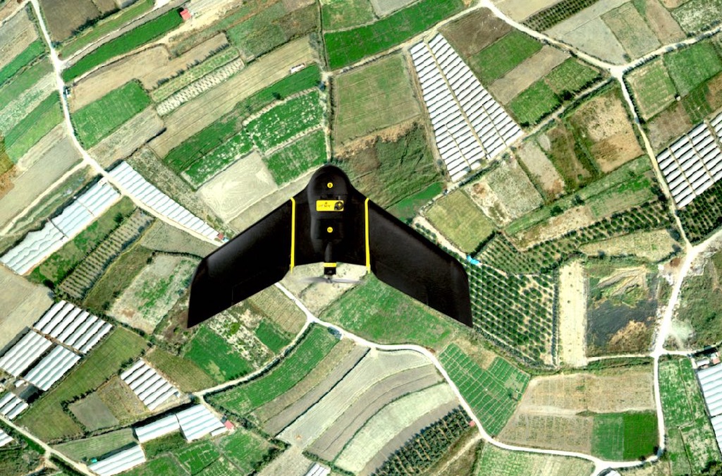
3D Digital Terrain Model and Orthophoto Map Production with the help of drones, software and other equipment with fixwing drones with high resolution camera equipped and precise positioning (CorsTR / RTK) capability...
Updating and Digitization of Cadastral Maps, Production and Updating of Expropriation Plans and Execution of Expropriation Works...
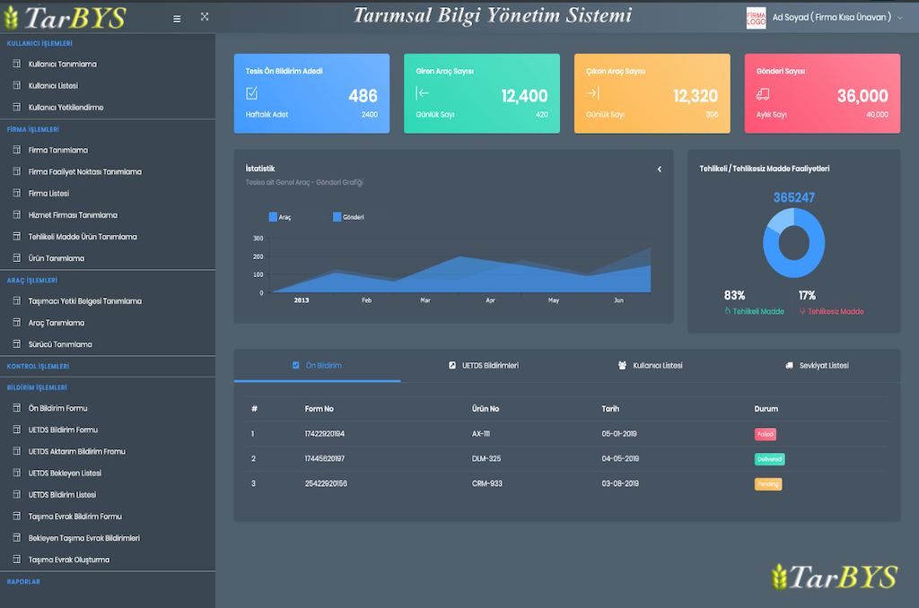
Land Management Information System Installation, Land Development, Investment and Yield Increase tracking, Data storage, presentation and sharing consultancy services...

Surveying Engineering services, analyzes, reports with internationally recognized and accepted GIS software

All data generated; Digital Terrain Model, Orthophoto Maps, Analysis and Reports ... are stored on your personal web page and you can share them whenever you want..
Digital Terrain Model, Orthophoto Maps and Analysis Reports produced with GIS support are stored on your Special Web Page. You can share with any Person, Institution, Bank, Insurance, National or International buyer company....
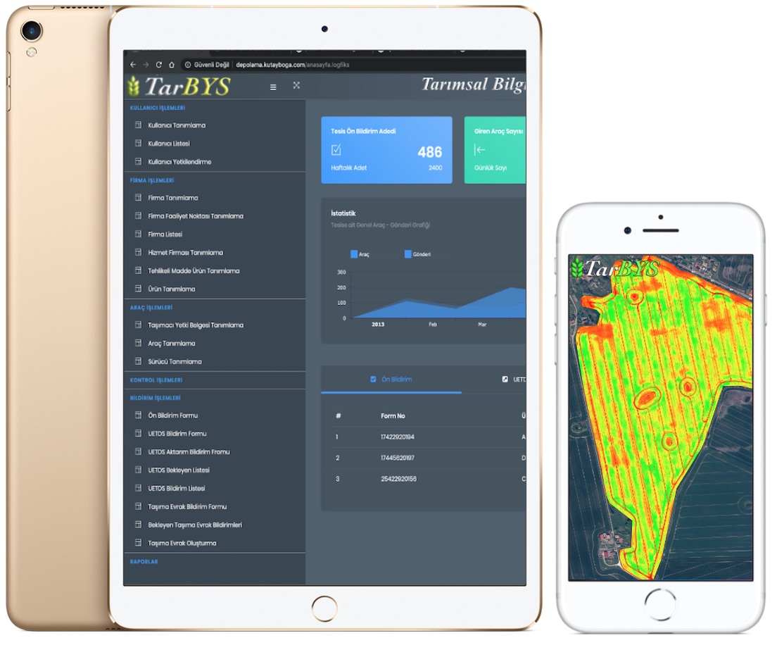
With the GIS Web Page (GIS) to be opened in your name, you will be able to access the latest Orthophoto Map of your areas based on Geographical Information Systems. However, you will have the chance to add as many areas and facilities as you want..
Whether single-person package or Corporate Package, adding and authorizing as many users as desired and login tracking (LOG) record keeping on your GIS supported web page...
The land owned or rented by you, adding area information, tracking the development as the data is stored, product identification, and the opportunity to benefit from many innovations..
Ability to summarize the stored data, query analysis and reports, print or share with the person or institution you want


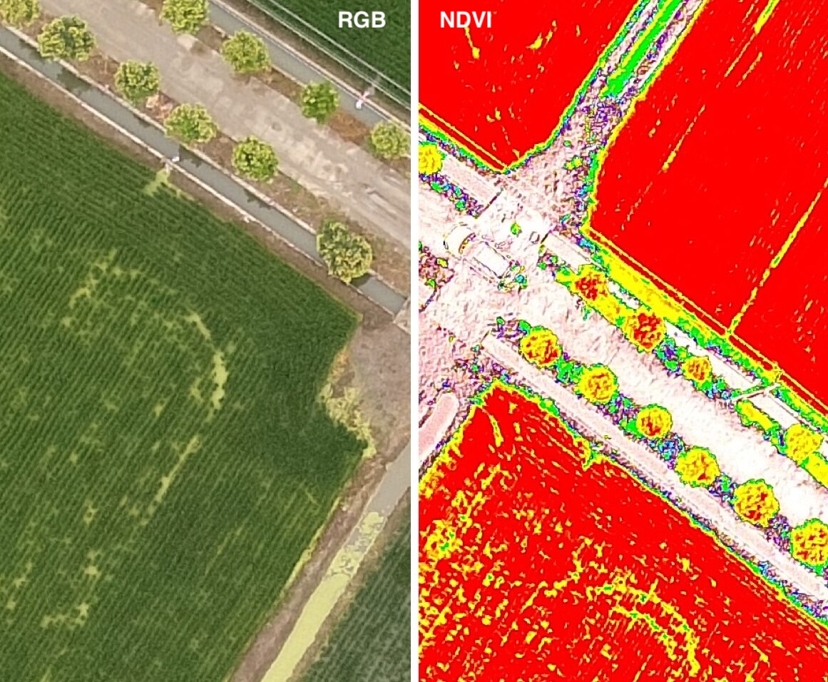
Blue (B): 450 nm ± 16 nm; Green (G): 560 nm ± 16 nm; Red (R): 650 nm ± 16 nm; Red edge (RE): 730 nm ± 16 nm; Near-infrared (NIR): 840 nm ± 26 nm and RGB
